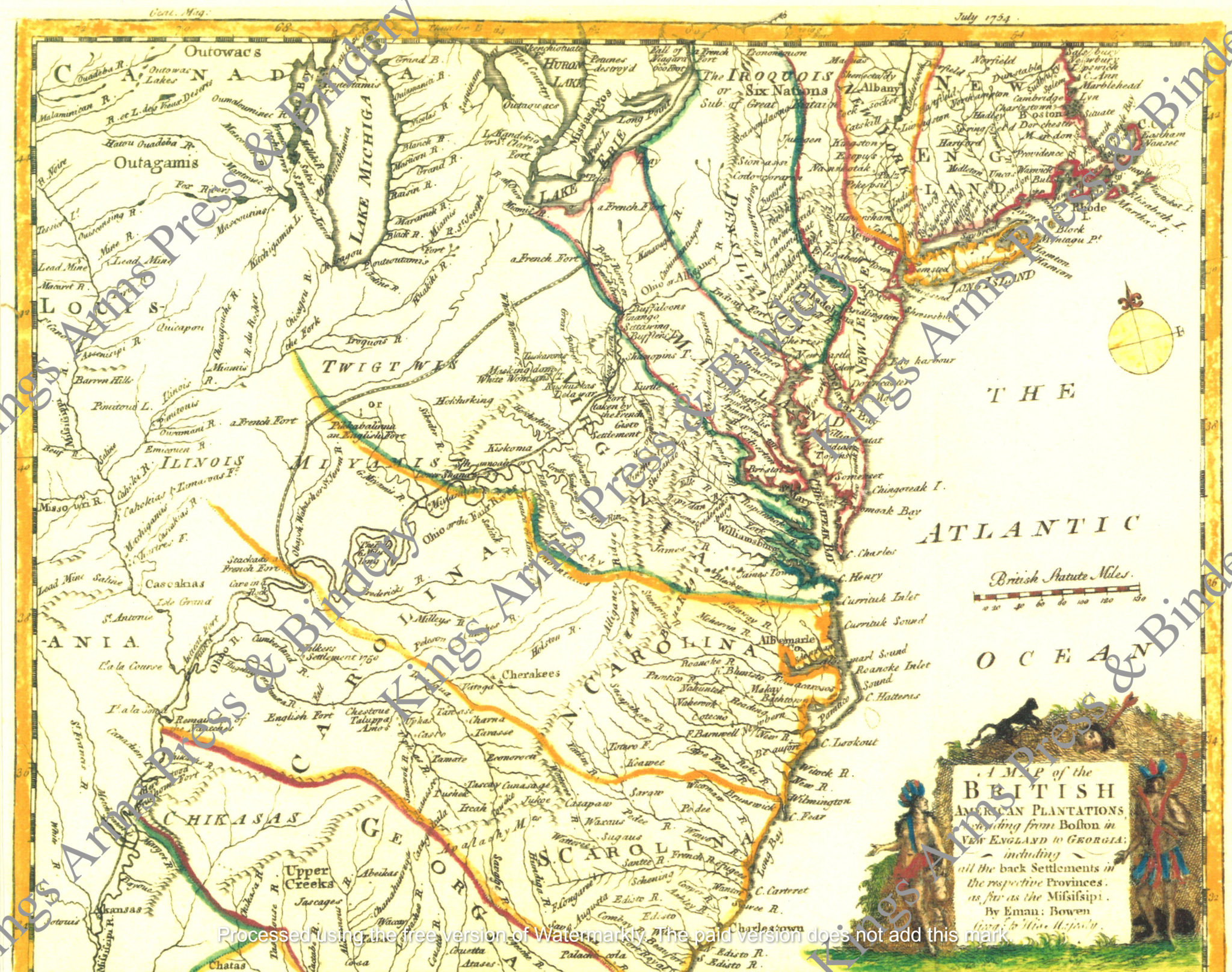
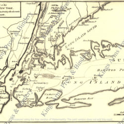
A map of the British American plantations, extending from Boston in New England to Georgia-including all the back settlements in the respective provinces as far as the Mississippi-1754
$8.00
Reproduced hand colored map of the British American plantations, extending from Boston in New England to Georgia, including all the back settlements in the respective provinces, as far as the Mississippi. From “Gentleman’s Magazine” 4 July 1754. Shows rivers, mountains, creeks, Indian villages, French and English forts, and “Walkers settlement 1750” on the Cumberland River.
The map of the “British American Plantations” was produced by Emanuel Bowen, “Geographer to His Majesty,” George II, and engraved by his son, Thomas Bowen. It was published in The Gentleman’s Magazine of London in July 1754. The map makes it clear that the claims of the Crown’s colonies (here, “Plantations”) extend to essentially all the land east of the Mississippi. Included within the British claims are six places explicitly labeled as the sites of a “French Fort,” including two as far west as modern Illinois and Missouri. It is possible that these forts were shown simply in recognition of the facts on the ground, but it may also have been an intentional signal of the British willingness to confront the French.
What makes this map unusual, if not unique, is the orientation of the western and northern boundaries of the British colonies. The borders of New England, New York, New Jersey and Pennsylvania extend essentially due north, ending only at the frame of the map and apparently extending into modern Canada. Maryland reaches northwest to the shores of Lake Erie. Virginia and North Carolina extend northwest to a point well beyond the Ohio and the Wabash, and the borders of South Carolina and Georgia angle more to the west, ending at the Mississippi.
The map from the Gentleman’s Magazine of 1754, has been enlarged slightly from the original in our collection and measures 11” x 14.” It has been reproduced on imported laid paper and is suitable for framing, or for use in the field as part of an officer’s interpretation. Watermarks do not appear on purchased maps.
