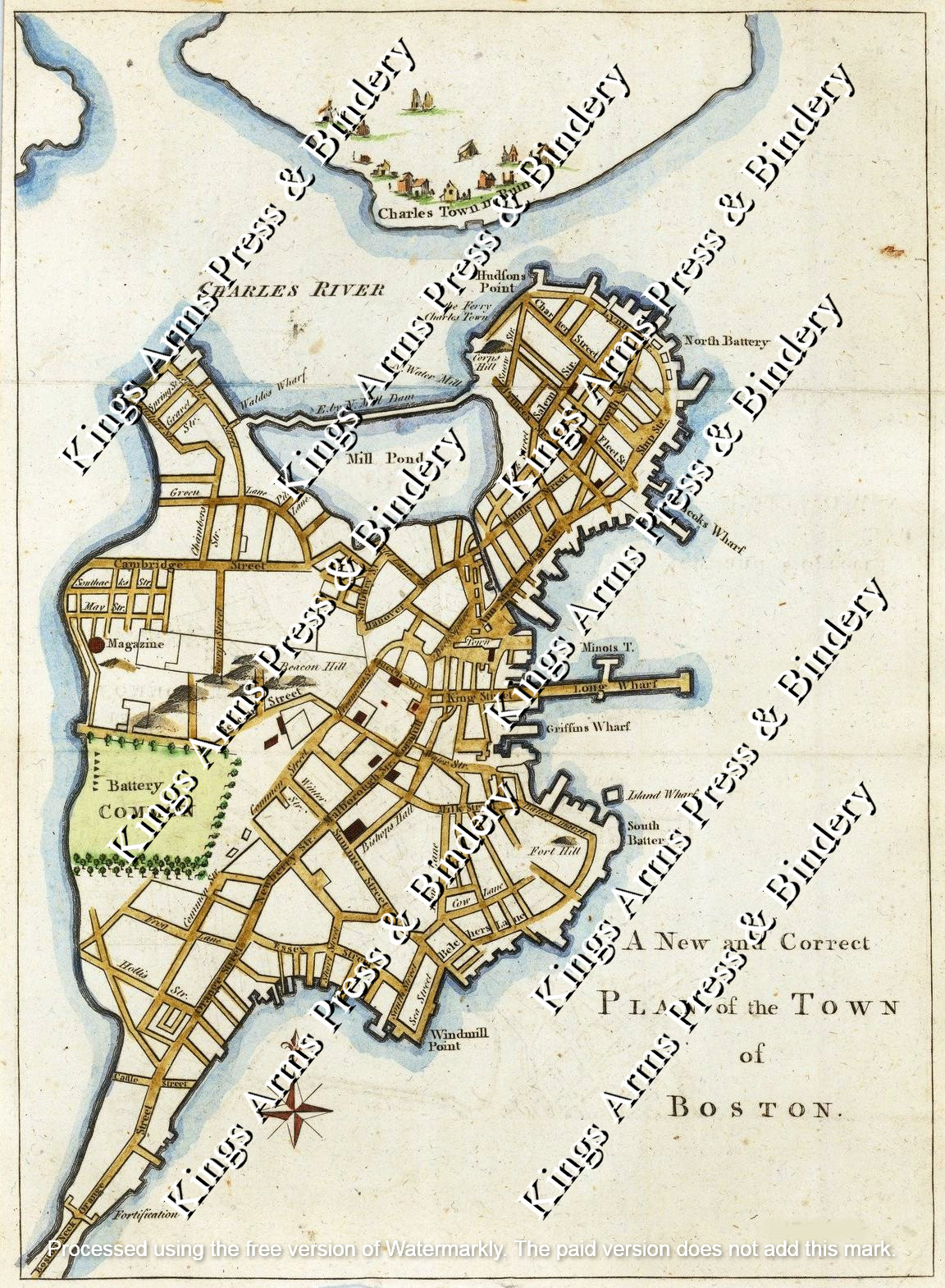
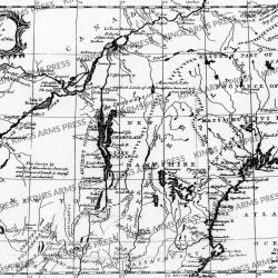
A New and Correct Plan of the Town of Boston. 1775
$5.00
An uncommon and attractive 1775 map of Boston issued in the early days of the American Revolutionary War just following the Battle of Bunker Hill. The map covers the original peninsula of Boston as well as the ruins of Charleston just across the river. The plan names streets, including Beacon Street with a topographical representation of Beacon Hill, Newberry Street, and indications of fortifications, batteries, and other landmarks. Major buildings are represented, as are wharfs, including Hancock’s Warf, Long Warf, and Griffins Wharf, among others. The mill dam is identified.
This map was issued for British readership in the early days of the American Revolutionary War following the Battle of Bunker Hill, which, as the map notes, has left Charlestown in ruins. This, together with two other maps, was intended to provide the readers of The Gentleman’s Magazine with ‘a perfect representation of the present Seat of War in America.’ At the time the Battles of Lexington, Concord, and Bunker Hill left British forces in Boston under serious threat from Continental forces under the command of George Washington.
The pre-19th century geography of Boston is noteworthy. When this map was drawn, Boston was essentially an island linked to the mainland via a narrow causeway. This map thus provides a kind of ‘baseline’ from which to examine later images of the city, as it predates the extensive filling that created South Boston, Back Bay, and much of East Boston.
This map appeared in the October 1775 issue of The Gentleman’s Magazine.
From an original in our collection. Presented on hand made laid paper in its original format. Measures approximately 8.5″ x 11.”
Watermark does not appear on purchased map.
